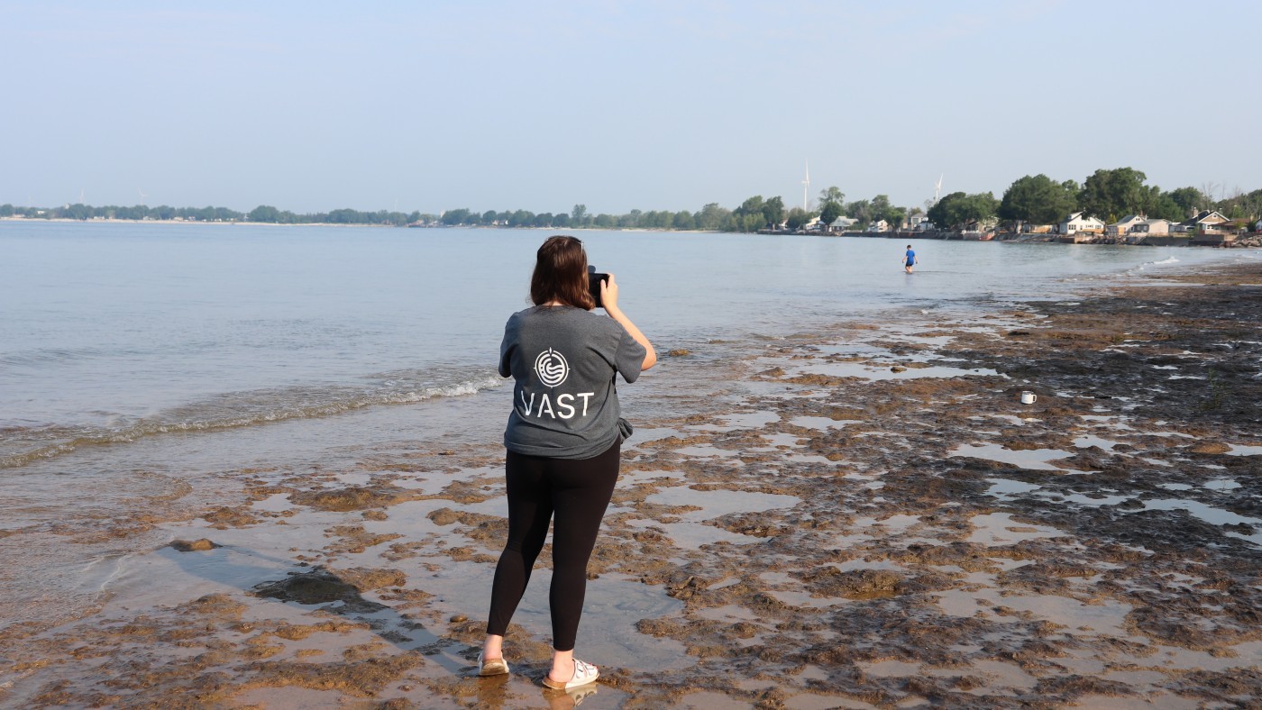
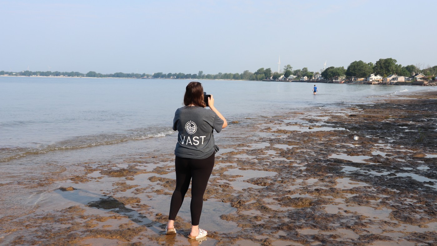
The Niagara Coastal Community Collaborative (Niagara Coastal), Niagara Peninsula Conservation Authority (NPCA), and Niagara College have partnered to launch a community-based monitoring program to engage the coastal communities of Lake Erie, in the stewardship of shoreline resiliency and healthy coastal ecosystems.
This partnership provides a framework to facilitate collaboration on future restoration projects through the NPCA Restoration Grant Program, implementation of Niagara’s Visual Assessment Survey Tool (VAST), and planning of future efforts towards shoreline resiliency across the Niagara Peninsula watershed.
“Community partnerships are essential to our work, and our success is dependent upon working in collaboration with partners in conservation,” says Geoff Verkade, Senior Manager of Integrated Watershed Planning, and Information Management at NPCA. “With a shared interest in nature-based solutions that benefit the watershed, we are pleased to have joined the Niagara Coastal Community Collaborative in their efforts to improve the health of Lake Erie’s coast.”
Climate change is causing significant and far-reaching impacts on the Great Lakes and the Great Lakes region. The coastal areas of the Great Lakes are exposed to many stressors and are highly susceptible to environmental degradation. A new, integrated approach, VAST, has been established to understand these stressors and their cumulative impacts, so that actions can be taken to remediate and protect this valuable resource.
The Great Lakes Local Action Fund (GLLAF)— established by the Province of Ontario to help small-scale community projects provide a positive environmental impact on the Great Lakes— announced their provincial investment of more than $1.9 million to support 44 projects, one of which is VAST. This tool will help NPCA, Niagara Coastal, and Niagara College engage citizens on shoreline issues and enable them to contribute to an ever-expanding coastal monitoring network.
Through VAST, coastal communities, residents, and visitors will:
- Track the changing conditions of Niagara’s coasts by submitting photos or completing a short survey, at any time and from any location.
- Share valuable data to create a real-time map of coastal conditions that will be used to guide visitors’ interactions with these waterbodies.
- Support a proactive and strategic approach to Great Lakes management, inform future restoration decisions, and track results over time.
“Everyone has a favourite shoreline. We all have an area that we know and love, somewhere we’ve visited year after year, somewhere we’ve seen changes as time passes such as water levels rising and falling, algae gathering and dissipating, banks eroding and transforming,” adds Gregary Ford, Executive Director at Niagara Coastal. “VAST allows us to tap into the rich network of local expert knowledge by engaging those who have that intimate familiarity in collecting important information about their shorelines.”
Photo stations will soon be installed at several priority sites to assist in the collection of data. These include Long Beach and Morgan’s Point conservation areas, located within the Niagara Peninsula watershed and on the Lake Erie shoreline. VAST stations will encourage residents and visitors in the coastal communities to monitor their shorelines from the same point of view week after week.
“Community-based initiatives are extremely valuable as they establish a foundation for watershed residents to become actively involved in the health of their coast,” adds Annie Michaud, Professor of Environmental Studies at Niagara College. “Initiatives such as VAST will provide unique learning opportunities for students to gain hands-on experience while also supporting the local environment here in Niagara.”
Several online engagement tools are already in place to support VAST, with approximately 27 registered volunteers who have contributed more than 56 hours and 300 photo submissions. Residents in the coastal communities and visitors alike are encouraged to get involved in this meaningful citizen-science experience.
Learn more about the Visual Assessment Survey Tool and how to get involved and begin contributing valuable data, at niagaracoastal.ca/vast. Follow on Instagram and Facebook for more updates.
-30-
About Niagara Coastal:
The Niagara Coastal Community Collaborative is committed to understanding and improving the health of Lake Erie’s coast, in collaboration with ENGOs, government, landowners, academia, and citizens. They operate in the Niagara Peninsula portion of the Lake Erie coast, with acknowledgement that the area that influences this coast includes all the 29 watersheds contributing to the lake.
Niagara Coastal works on three ecological priorities— nature-based shorelines, healthy beaches, and habitat and species. They are dedicated to optimizing and expanding local action to build a healthy and resilient Lake Erie coastal ecosystem that supports the community's economic, recreational, environmental, and health and well-being needs.
About NPCA:
The Niagara Peninsula Conservation Authority (NPCA) is a community-based natural resource management agency that works to protect, enhance, and sustain healthy watersheds. With 61 years of experience, the NPCA offers watershed programs and services that focus on flood and hazard management, source water protection, species protection, ecosystem restoration, community stewardship, and land management.
The NPCA is one of 36 Conservation Authorities in the Province of Ontario and manages 41 Conservation Areas within the Niagara Peninsula watershed held in public trust for recreation, heritage preservation, conservation, and education. These natural and shared greenspaces marry nature, culture, and adventure to create limitless opportunities for discovery.
Questions related to the above release should be directed to:
Erika Navarro, Communications Specialist
Mobile: 905-650-4027
enavarro@npca.ca

