Flood Warnings
Current Status
Current Flood Status
there are currently no active flood messages
See below for an example of a flood message:
watershed conditions statement - flood outlook
Date: June 17, 2026 The Niagara Peninsula Conservation Authority (NPCA) is advising the public and local municipalities of the potential for flooding within its jurisdiction late Wednesday June 17 into Thursday June 18, 2026. This includes the Niagara Peninsula, the southeastern portion of the City of Hamilton, and the eastern portion of Haldimand County.
The Niagara Peninsula Watershed is currently under a Special Weather Statement, with forecasted rainfall up to 40 mm or greater with the risk of severe thunderstorms moving into the area this evening near midnight. These storms may also produce gusts of 70 to 90 km/h with heavy downpours of rain of up to 20 mm/hour in some locations.
Some watercourses are still draining the precipitation/runoff from the storm this past Sunday and are expected to respond rapidly to these rainfall amounts and intensities. While the NPCA does not anticipate major flooding along larger watercourses, nuisance flooding in low-lying areas adjacent to smaller streams and creeks is likely.
Residents are strongly urged to stay clear of all creeks, rivers, and waterbodies due to slippery banks and elevated water levels, which pose significant hazards. Property owners are encouraged to ensure that drainage features—such as culverts, catch basins, and ditches—are free of debris. Municipal and Regional staff are similarly advised to inspect and clear local stormwater infrastructure.
This notice remains in effect until 9:00 AM on Friday, June 19, 2026, and will be updated as conditions warrant.
The NPCA will continue to monitor these conditions and will issue further messages as required. Information on the Flood Status in the watershed can be found on the NPCA’s website at:
Flood Status
Stream Flow Monitoring
For further information contact:
Ryan Kitchen
Flood Risk Management Officer
rkitchen@npca.ca
Work: 905-788-3135 x 269
After hours: 905-658-1838
Chris Polap
Flood Risk Management Technician
Work: 905-788-3135 ext. 260
For media inquiries, contact:
Jennifer McQuillan
Communications & Marketing Specialist
jmcquillan@npca.ca
905-933-0532
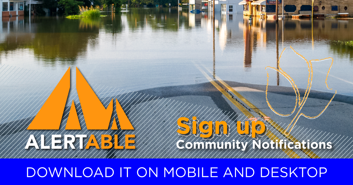
Have You Heard About the Alertable App?
Alertable is a trusted emergency alert system used by local, regional, and provincial officials to keep you informed during emergencies like floods, severe weather, and other hazards.
It gives you multiple ways to receive alerts, so you can choose what works best for you.
How Can You Get Alerts?
You can receive alerts through:
- Mobile app (iOS and Android)
- Smart speakers (Amazon Alexa and Google Assistant)
- Public website
- Social media (Facebook and Twitter)
- Coming soon: Facebook Messenger chatbot
What Alerts Do You Get Automatically?
Alertable automatically delivers:
- Severe weather alerts from Environment and Climate Change Canada
- Emergency alerts from Canada’s national system, Alert Ready
- This means important alerts come straight to you without delay.
- Local Flood Alerts
You can now receive Flood Advisories from the Niagara Peninsula Conservation Authority directly on your phone or device—whether you use Android or Apple.
Download Alertable
Desktop:
What To Do If a Flood Message Is Issued
- Read the alert carefully.
- Follow instructions from emergency officials.
- Be prepared to act quickly, including evacuating if required.
Who Monitors Flooding?
Weather and water levels are monitored by:
- Conservation Authorities
- Ontario Ministry of Natural Resources (OMNR)
- Environment and Climate Change Canada
- The OMNR Surface Water Monitoring Centre tracks conditions across Ontario and shares information with Conservation Authorities.
How Flood Warnings Work
Conservation Authorities and OMNR:
- Predict where and when flooding may occur
- Issue flood warnings and advisories
- Activate emergency plans
- Warn residents
- Evacuate areas if necessary
- Municipal emergency officials
- Media outlets
- Public alert platforms like Alertable
What if a Flood Message is Issued for Your Area?
Take heed of the message issued.
Be prepared to follow the advice and instructions of emergency response officials.
Monitoring weather and flood conditions is a shared responsibility of Conservation Authorities, OMNR, and Environment Canada. The OMNR Surface Water Monitoring Centre in Peterborough monitors weather forecasts and water levels across the province, providing the information to Conservation Authorities. Other information is also available from Environment Canada.
Conservation Authorities and the Ontario Ministry of Natural Resources are responsible for forecasting where and when flooding is likely to occur and issuing appropriate messages. Advance warning of an impending flood allows municipalities and other government agencies to put emergency response plans into operation, and if necessary, evacuate communities.
When flooding is possible or about to occur, Conservation Authorities (or the Ministry of Natural Resources in areas where there is no Conservation Authority) issue flood messages to municipal emergency management officials and the media. The municipal officials then take action to warn local residents. Flood messages are posted on Conservation Authorities’ websites. In some watersheds, members of the public can receive flood messages directly through e-mail and/or Twitter.
Messages Key
No flood conditions exist
Be informed and aware.
Water Safety Statements: High flows, unsafe banks, melting ice or other factors that could be dangerous for recreational users such as anglers, canoeists, hikers, children, pets, etc. Flooding is not expected.
Flood Outlook Statements: Early notice of the potential for flooding based on weather forecasts calling for heavy rain, snow melt, high wind or other conditions that could lead to high runoff, cause ice jams, lakeshore flooding or erosion
Flooding is possible in specific watercourses or municipalities. Municipalities, emergency services and individual landowners in flood-prone areas should prepare.
Flooding is imminent or already occurring in specific watercourses or municipalities. Municipalities and individuals should take action to deal with flood conditions. This may include road closures and evacuations.