
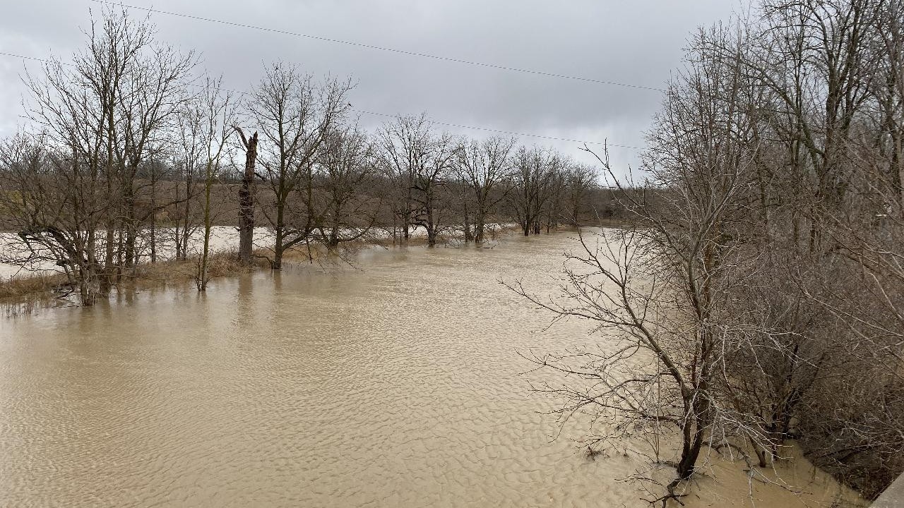
Floodplain mapping is now underway in the Upper Welland River watershed, as the Niagara Peninsula Conservation Authority (NPCA) advances a multi-municipal study to better understand and manage flood risk across nineteen tributaries.
The study area includes portions of Haldimand County, the City of Hamilton, the Township of West Lincoln, and the Township of Wainfleet.
As technical work progresses, NPCA is continuing to seek input from residents, landowners and businesses to help ensure the mapping reflects real-world conditions on the ground.
What this means for the community
Updated floodplain mapping helps identify areas that may be more vulnerable to flooding during significant rainfall events. This information is used by municipalities, emergency services and NPCA to support:
- Flood forecasting and warnings
- Emergency preparedness and response
- Infrastructure and mitigation planning
- Land use planning and development decisions
For residents and property owners, the study may help clarify how flood risk could affect their property today and into the future.
“Floodplain mapping helps communities understand where flooding could occur so we can plan ahead and reduce risk,” said Brendan Buggeln, Manager Natural Hazard and Resiliency at NPCA. “As this work moves forward, input from the community remains an important part of ensuring the maps reflect local conditions and experiences.”
Public engagement continues
With mapping now in progress, the project is entering a phase where community input is especially valuable. Residents are encouraged to:
- Visit NPCA’s Get Involved portal to follow project updates and materials
- Share local knowledge or observations related to flooding in their area
- Watch for details on an upcoming public open house
The project follows a hybrid community engagement approach, combining in-person opportunities, including community pop-ups and public information sessions.
Why participation matters
Local knowledge - including past flooding experiences, drainage issues, and site-specific conditions - helps refine technical modelling and improve the accuracy of floodplain maps.
Community input will directly inform how flood risks are understood and communicated across the watershed.
Residents are encouraged to visit the NPCA’s Get Involved portal follow updates, access mapping as it becomes available, and learn how this work may relate to their property.
-30-
About Niagara Peninsula Conservation Authority:
As a community-based natural resource management agency, the Niagara Peninsula Conservation Authority envisions a healthy and vibrant natural environment with shared greenspace and clean water for all. NPCA’s work supports the conservation, enhancement, and sustainability of healthy watersheds with programs and services that focus on drinking water source protection, flood and hazard management, ecosystem restoration, community stewardship, education, and land management.
NPCA is the caretaker of 43 conservation areas within the Niagara Peninsula watershed held in public trust for recreation, heritage preservation, conservation, and education. These natural and shared greenspaces marry nature, culture, and adventure to create limitless opportunities for discovery.
For more info on NPCA: www.npca.ca
Follow on Facebook, Instagram, and LinkedIn for more updates.
Media inquiries should be directed to:
Jennifer McQuillan
Communications & Marketing Specialist
jmcquillan@npca.ca
905-933-0532