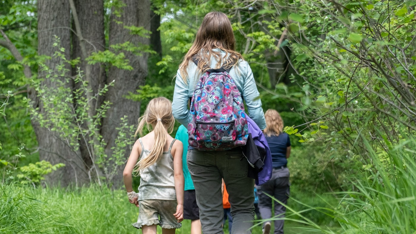

Summer is in full swing, and there’s no better time to explore the beauty of Niagara’s hiking trails. And one of the best ways to do it? On foot! Whether you’re a seasoned trailblazer or a first-time stroller, the Niagara Peninsula watershed offers trails to match every pace—from gentle nature strolls to challenging climbs. To help you plan your next outdoor escape, we’ve spotlighted three NPCA trails rated from beginner to advanced.
Before you hit the trail: To keep yourself safe and protect our shared ecosystems, always stay on designated paths, maintain a safe distance from cliff edges, keep your pets on a leash, clean up their waste, and avoid disturbing local wildlife and plants. Please follow leave no trace principles – take only pictures, leave only footprints.
Beginner: St. Johns Conservation Area
Trail Lengths: 140m–500m (700m if you add Sassafras Trail)
Terrain: Flat gravel (Pond Trail) and packed-earth paths, some rocks/ roots and wooden boardwalks (Forest Side Trail, Horseshoe Trail and Sassafras Trail)
Must-See: Accessible fishing pier, turtles & waterfowl.
A peaceful spot tucked into the Niagara Escarpment, St. Johns offers a tranquil setting ideal for beginner hikers, families, or anyone seeking a gentle introduction to Niagara’s trails. The beginner-friendly Forest Side Trail, Sassafras Stroll and Horseshoe Trail, and accessible Pond Trail are great options. Most sections of the Pond Trail are wheelchair and stroller friendly, though there are two grated metal bridges that cross over the stream on the southern part of the trail. Along the way, enjoy gentle streams, waterfowl families, and even the occasional turtle sunbathing by the water’s edge. This area is also a hotspot for birdwatching and nature education, providing ample opportunities to learn and unwind. Plus, anglers will be pleased to know that the St. Johns Pond is open for fishing during the summer season! Just be sure to follow Ontario’s fishing regulations.
Looking for a more challenging hike while at St. Johns? Explore the St. Johns Ridge Trail, with steeper slopes and a 1km length.
Intermediate - Advanced: Cave Springs Conservation Area
Trail Length: 300m—800m
Terrain: Natural trails with moderate elevation and uneven ground, some rugged sections include rocks, roots and uneven terrain
Must-See: Ice caves, mysterious carvings, panoramic views of Lake Ontario, Niagara Escarpment talus slopes and cliffs, Carolinian forest, Bruce Trail
Ready for a little more adventure? Cave Springs blends history and scenery into one of Niagara’s most unique hikes where you can choose between shorter accessible trails, or more advanced longer hikes. The Ice Cave Trail and Carolinian Forest/Arboretum Trail guide hikers through gentle trails along the base of the Niagara Escarpment to see, Carolinian forest trees along the accessible Carolinian Forest trail, while looking up at the escarpment cliffs—key habitats for local wildlife. Along the way, don’t miss the fascinating ice caves and mysterious carvings. If you are looking for spectacular panoramic views of Lake Ontario, that can reach Toronto on clear days – you will want to use the more challenging hike up the escarpment to reach the Bruce Trail – be sure to stay on the trails as sections are close to the edge of the escarpment. With recent upgrades including dedicated parking, bike access, and a 200m accessible trail, Cave Springs offers an inviting outdoor experience for everyone. If you are a geology buff or just interested in learning more, check out the Cave Springs GeoHike!
Advanced: Woodend Conservation Area
Trail Length: 830m–3.2 km
Terrain: Rugged escarpment slopes, rocky and uneven paths.
Must-See: Historic War of 1812 observation point, hardwood forests with Carolinian species.
Woodend is a haven for seasoned hikers, offering a network of challenging trails that wind through rugged terrain and mature hardwood forests. Hikers can tackle routes like the Silurian Trail, Hardwood Trail, and a significant stretch of the Bruce Trail. The landscape is rich with Carolinian tree species –Black Cherry, Black Oak, and Sugar Maple—adding colour and character to every step of the journey. History buffs can appreciate Woodend’s past as a War of 1812 observation post, exploring trails that soldiers once used as lookouts.
In addition to its rich history and natural diversity, Woodend is home to an education centre leased by the District School Board of Niagara, where students participate in outdoor education programs, underscoring its importance as a place of learning and conservation.
Take a Hike — We Mean It
All three sites are part of the Niagara Aspiring Geopark list of Geosites. To learn more about this please visit: https://www.niagarageopark.com/geosites
Wherever your trail leads, you'll find something new to discover across more than 40 unique NPCA conservation areas. So go ahead—take a hike. You might just find yourself somewhere new.
Explore more NPCA trails and start planning your next great hike here.